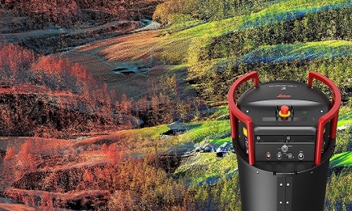
 Integration of LiDAR and image capture technology in airborne sensors allows users to capture high-quality data per flight – even in low-light conditions Leica Geosystems, part of Hexagon and supplier of premium sensors, software and services, has introduced the Leica TerrainMapper-2, the latest solution in the company’s hybrid sensor road map that integrates LiDAR and image […]
The post Latest Modular Sensor Offering For Airborne Mapping appeared first on Electronics For You.
View more at https://www.electronicsforu.com/technology-trends/news/latest-modular-sensor-offering-for-airborne-mapping.
Credit- EFY. Published by Department of EEE, ADBU: tinyurl.com/eee-adbu